
Assessing Potential Recharge Sites with a Towed Geophysics System (tTEM)
The Place
The Central Valley, located in the heart of California, supplies 40% of the nation's food on less than 1% of the nation's farmland. While the arid, Mediterranean climate of the Central Valley is ideal for year-round agricultural production, groundwater extraction is necessary to meet the water needs of growers and municipalities. Excessive groundwater use over the past century has lowered the groundwater levels across the Central Valley, with deleterious effects on groundwater availability and quality. Managing and reversing the declining water levels requires a multifaceted approach, and one promising method is managed aquifer recharge.
The Problem
Managed aquifer recharge, where fields are flooded in the off-season to replenish the underlying aquifer, has been proposed as a means of curbing groundwater depletion in the Central Valley. However, locating new fields for recharge is difficult. Since agricultural fields are typically linked to existing surface water conveyance infrastructure, they are an appealing first choice. However, depending on the geology in the area, recharge water may sit stagnant on the surface and take long periods of time to infiltrate. Our challenge is accurately mapping out the sediments in the subsurface, allowing water agencies to better prioritize and plan for recharge.

Our Approach
The towed time-domain electromagnetic (tTEM) system is specifically designed for imaging the upper 70-100 m of the subsurface with high lateral resolution, making it a perfect solution for recharge problems in the Central Valley. The tTEM images the electrical resistivity of the subsurface, which is controlled in part by the types of sediments in the ground. Combining the tTEM measurements with a small number of direct sediment type measurements (e.g. from cone penetrometer testing) allows us to convert the tTEM resistivity models into 3D sediment type maps. These sediment type maps can then be used to determine the suitability of a field for recharge.

Results to Date
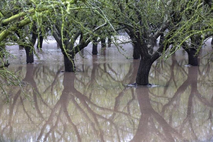
In 2017, we acquired data at multiple almond and pistachio orchards as well as recharge sites outside Tulare, CA. The results from one of the almond groves are shown below. The resistivity structure is imaged by the tTEM (top) over 32 hectares at 10 meter lateral resolution, and transformed to sediment type (bottom), revealing the subsurface structure in very high detail.
In 2019, we acquired additional data at farms outside Fresno and a pecan orchard outside Bakersfield. In 2020, we purchased a tTEM system, supported by funding from the Tulare Irrigation District. This will allow us to conduct many more of these studies in the Central Valley.
